2. In 2001, Fulton County had the largest population in the state of Georgia.
3. In 2001 there were 39 cities with a population greater than 15,000 in Washington state.
4. The total length of the interstate highways that cross the boundary of Los Angeles County is 3851 miles (6198 kilometers).
5. Urban area within the boundary of Los Angeles County totals 1,367,445.9 acres (2136.6 square miles). See Figure 1.
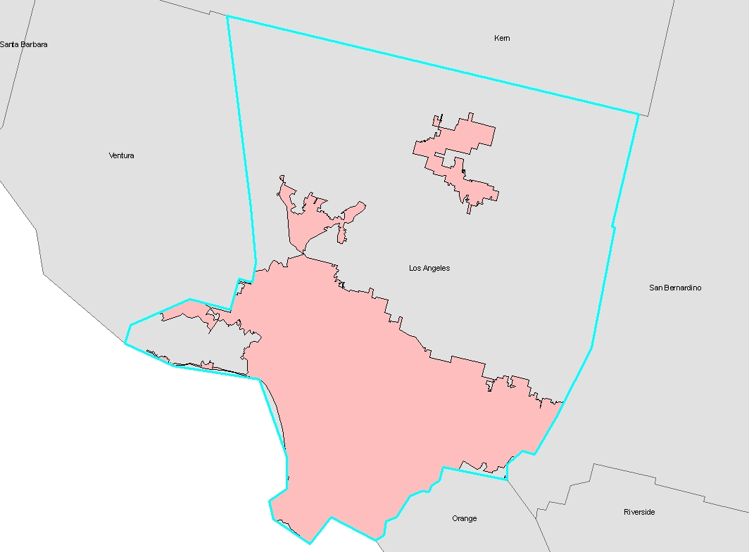 Figure 1.
Pink shaded areas denote urbanized land.
6. There are 522 zip code areas with a centroid located within Los Angeles county's boundary.
7. Map of Canada displaying provinces only(Figure 2).

Figure 2. Oh Canada!
Question: How do you hypnotize a Canadian?
Answer: Slowly dangle a hockey puck in front of their face.
8. The following First Nation Indian Reservations lie within seventy-five miles of Thurso, Quebec: Doncaster Indian Reserve 17, Kitigan Zibi Indian Reserve, Kahnawake Indian Reserve 14, Kanesatake Indian Reserve 16, and Akwesasne Indian Reserve 15. (See Figure 3.)
 Figure 3. First Nation Reserves within 75 miles of Thurso, Quebec.
No comments:
Post a Comment